Es war einmal

Wir schreiben das Jahr 2018 und den Monat April

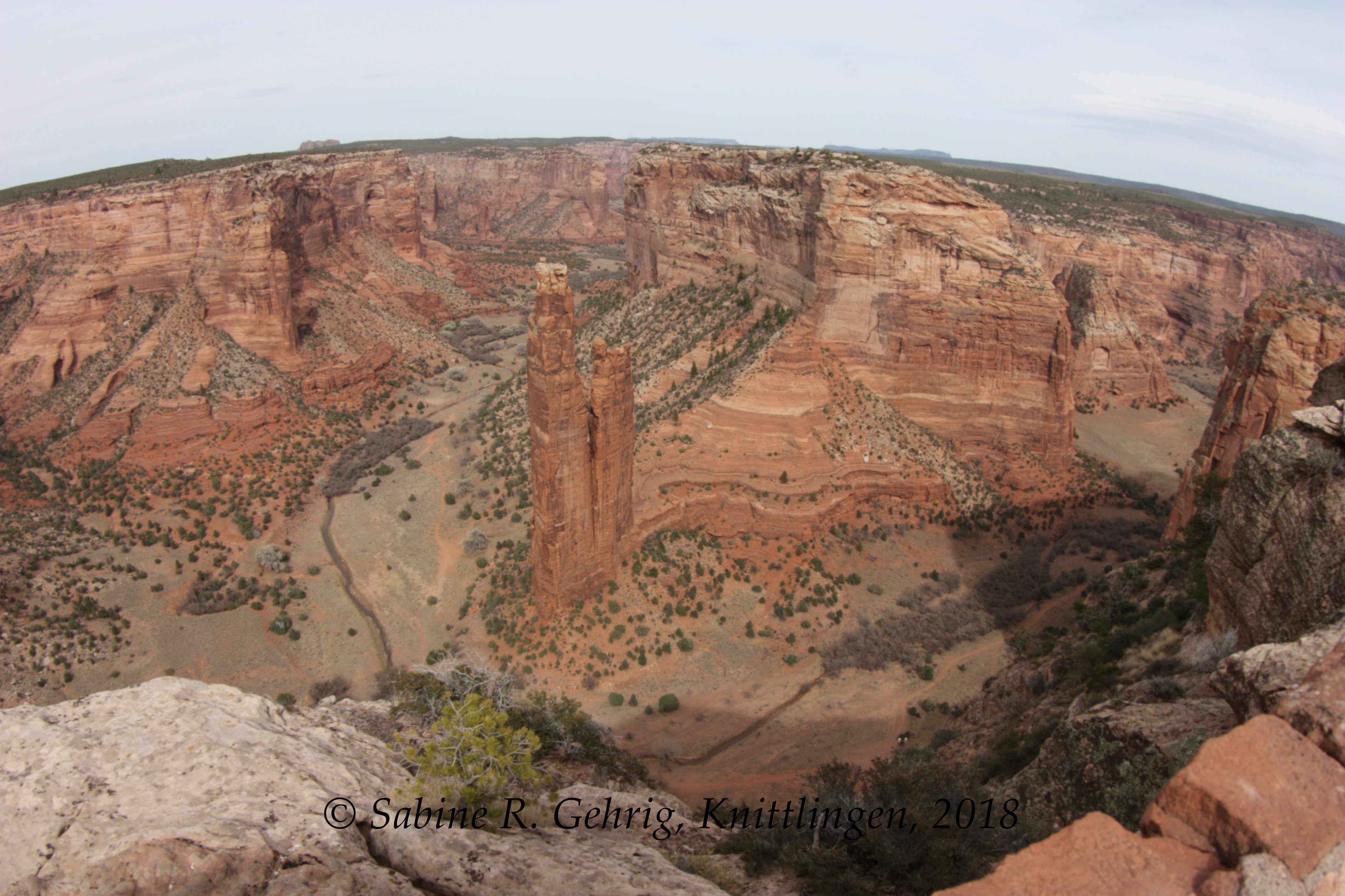
Ort der Handlung: Lomaki Pueblo im Wupatki National Monument, Arizona

Handlung: Ich fahre auf den Parkplatz, auf dem nur ein anderes Auto steht, aber weit und breit niemand zu sehen. Und so mache ich mich auf den Weg. Es dauert nicht lange und ich begegne dem Besucher, dem Fotografen Jerry. Wir kommen ins Gespräch und er erzählt, dass er nach allen Nation Parks auch z. B. alle National Monuments besuchen will. Ich bin hier, denn ich möchte auch so viele Einheiten des National Park Service wie möglich besuchen. Schließlich tauschen wir die Adressen unserer Blogs aus und sind seither immer mal wieder in Kontakt.

Warum schreibe ich diesen etwas anderen Blog? Nun, das erfahrt Ihr im nächsten Teil.

English Summary

Once upon a time

The year is 2018 and the month is April

Lomaki Pueblo in the Wupatki National Monument, Arizona

I pull into the parking lot where there’s a another car, but no one to be seen for miles. And so I set off. It doesn’t take long before I meet the other visitor, photographer Jerry. We started talking and he tells me that he wants to visit all f.e. the national monuments after having visited all the National parks. I’m here because I also want to visit as many units of the National Park Service as possible. Finally, we exchange our blog addresses and have been in touch from time to time ever since.

Why am I writing this somewhat different blog? Well, you’ll find out in the next part.

Wupatki National Monument, Arizona – Box Canyon Ruinen im Hintergrund Humphreys Peak / Box Canyon Ruins, in the background Humphreys Peak
Wupatki National Monument, Arizona – die Ruinen des Lomaki Pueblo direkt über dem Canyon gebaut / he ruins of the Lomaki Pueblo built directly above the canyon
Wupatki National Monument, Arizona – ein auf einen Felsvorsprung gebautes Haus im Bereich der Box Canyon Ruinen / a house built on a ledge in the area of the Box Canyon ruins

Schon mal über das Grundstück von Fremden gefahren?

So komme ich mir vor während ich im Canyon de Chelly National Monument die beiden Scenic Drives erkunde und auch während der Fahrt im Canyon mit einem Navajo-Führer. Das National Monument besteht aus zwei Canyons, dem ca. 48 km langen Canyon del Muerto und dem ca. 52 km langen Canyon de Chelly, die beide von bis zu gut 300 m hohen Feldwänden eingerahmt werden. Im Canyon de Chelly leben heute noch während des Sommers zahlreiche Navajo Familien, die dort Landwirtschaft betreiben, was aber aufgrund der schon seit ca. acht Jahren seehr geringen Winterregen immer schwerer wird. Die jungen Navajo bevorzugen daher das Leben auf der Hochfläche. Es ist ein Gebiet mit einer faszinierenden Landschaft und reichen Geschichte.

 English Summary

Did you ever drive on the property of a stranger?

That’s what I felt while exploring Canyon de Chelly National Monument which comprises two Canyons – the 30 mi long Canyon del Muerto and the 32 milong Canyon de Chelly. Both have cliffs which are up to 1.000 ft high. In Canyon de Chelly there are still Navajo living during summer farming and ranching. But this is getting harder due to the missing winter rains. Therefore younger Navajo prefer living on the plateau. Nevertheless it’s an amazing area rich in history.

IMG_1379-Canyon de Chelly NM - South Rim - Tsegi Oveerlook

Canyon de Chelly: Blick vom South Rim Drive in den Canyon; die großen Sandflächen werden zu einem Fluss – wenn es denn mal kräftig regnet / View from the South Rim Drive; the areas sovered with sand are getting a river – if it rained enough

IMG_1403-Canyon de Chells - South Rim - Spider Rock Overllook

Canyon de Chelly: der 244 m hohe Spider Rock, dem Wohnsitz von Spider Woman, einer Gottheit der Navajo, die die Frauen das Weben lehrte / 800 ft tall Spider Rock; the Navajo believe that Spider Woman lives on the Rock, she is a deity who taught the Navajo woman how to weave

IMG_1419-Canyon de Chells - South Rim - Navajo Fortress

Canyon del Muerto – Navajo Fortress: Dieser allein stehende Felsen im Canyon wurde von den Navajo als Zufluchtsort vor den Truppen der Spanier, Amerikaner und anderen Indianern benutzt. Als Kit Carson 1863-64 die Navajo von ihrem Land vertreiben sollte, flüchteten Hunderte von ihnen auf den Felsen. Letztendlich gewann Carson und die Navajo mussten den 645 km langen Weg nach Fort Sumner in New Mexiko antreten, was Long Walk genannt wird. / This isolated rock was refuge to the Navajo from the Spanish, Americans and other tribes. As Kit Carson should remove the Navajo from their land in 1863-64 the Navajo took refuge in the rock. Finally Carson won and the Navajo were forced to walk 400 mi to Fort Sumner, NM, What is called the Long Walk.

IMG_1439-Canyon de Chelly NM - North Rim - Mummy Cave Ruin - linker Teil sehr nah

Canyon del Muerte: Mummy Cave Ruin oder Tse yaa Kini, was in der Sprache der Navajo “Haus unter dem Felsen” bedeutet. Dieser zentrale Teil umfasste 7 Räume und einen dreistöckigen Turm. / Canyon del Muerte, Mummy Cave Ruin or Tse yaa Kini, Navajo for „house under the rock“. This central portion includes 7 room and a three-story tower.

IMG_1526-Canyon de Chelly NM - Tour - Pictograph - Einzug der Spanier mit Priester

Canyon del Muerto: Pictograph, das einen Zug spanischer Eroberer darstellt, die von einem Priester begleitet werden – so eine mögliche Deutung. / Pictograph showing Spanish Conquistadores accompanied by a priest – one possible interpretation.